Geophysical site investigations
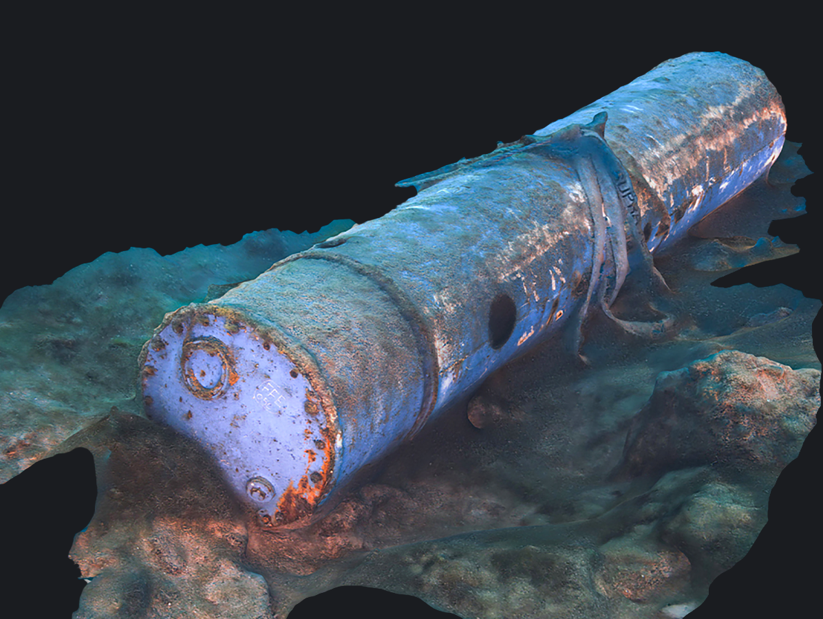
Utilising non-intrusive cutting-edge technology, we deliver a complete understanding of the structure of the seabed in order to facilitate the secure and cost-effective development of maritime infrastructure, all the while safeguarding marine life.
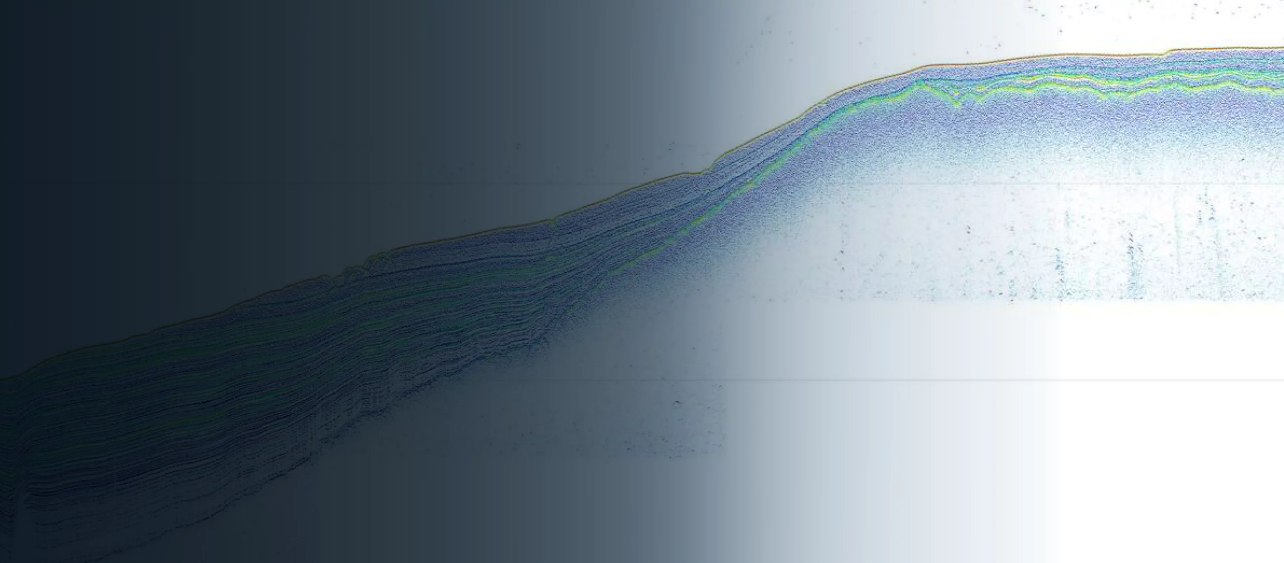
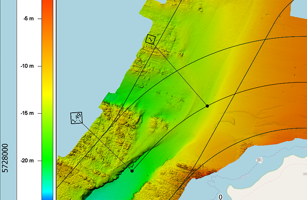
Our teams employ an array of state-of-the-art technology, such as multibeam, gradiometer, magnetometer, sonar, and towed-seismic systems. Through our cutting-edge data platform, onshore teams can take real-world, on-screen measurements and examine project deliverables in real time, helping to reduce mobilisation risks and costs.
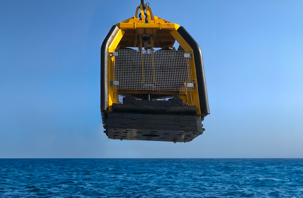
Precise geophysical information, expertly analysed, is vital in accelerating project advancement, mitigating risks, and minimising over-engineering. In order to further lessen the impact of projects, we utilise unmanned surface vessels (USV) to reduce the duration of vessel operations, and employ remote processing to restrict the number of personnel required offshore.